Mount Fuji Area
Mount Fuji rises 3,776 meters above sea level and is Japan's tallest mountain. It was also the inspiration for a series of famous ukiyo-e (woodblock prints) by artist Katsushika Hokusai. In recognition of its global significance, Mount Fuji and the area surrounding it were designated a UNESCO World Heritage site in 2013.
The mountain—an active volcano—is covered with dense woodland on its lower slopes, giving way to coniferous forest up to the Sixth Station (the waypoint marking the sixth stage of the hike), and volcanic desert at the peak. The official climbing season for summiting Mount Fuji is July to September. There are four main trails to the summit. Take a bus up to the Fifth Station on any of the routes before climbing to the top. You can rest at one of the many mountain huts on the way up, or even stay overnight to get an early start on your ascent.
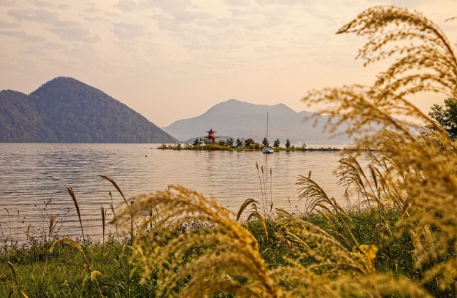
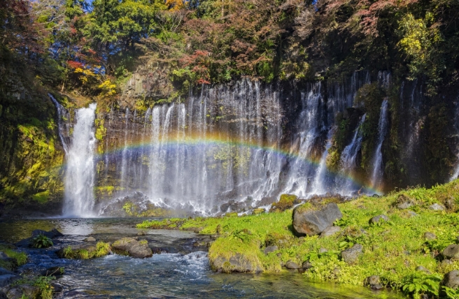
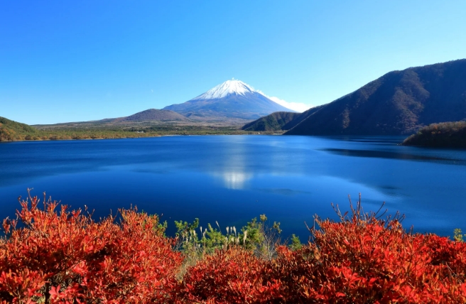
Volcanic activity has shaped the landscape here in a variety of ways. Lava flows blocked rivers across the area, forming five lakes known collectively as Fuji Goko. Lake Yamanaka and Lake Kawaguchi are the largest and most popular and noted for their views of Mount Fuji. Visit the northeast part of the park to see Shiraito Falls, formed by spring water cascading over a lava ridge.
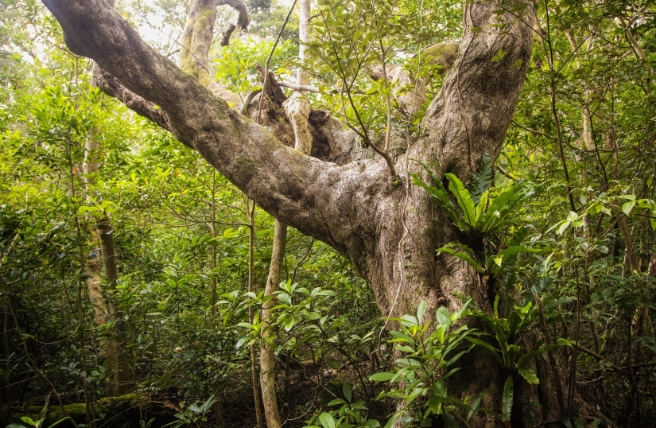
The rich volcanic soil in the region also gave rise to the vast and ancient Aokigahara Jukai Forest on Mount Fuji's northwest slopes. You can trek on footpaths through these ancient woodlands or enjoy a few hours of "forest bathing"—a scientifically proven therapy known in Japanese as "shinrin-yoku"—by walking leisurely among the trees.
Fugaku Fuketsu and Narusawa Hyoketsu are two otherworldly caverns located in the forest. The average temperature in Fugaku Fuketsu, a huge lava tube, is just 3 degrees Celsius, even in midsummer. Narusawa Hyoketsu is a tunnel-type ice cave. Both caves were once used to store silkworm eggs and seeds. The refrigerated environment prevented silkworm cocoons from turning into moths and preserved the quality of the seeds.

Lake Saiko
Hakone Area
Hakone was once a well-traveled post station on the country’s ancient main east-west thoroughfare, the Tokaido. Just 90 minutes by train from the capital, it’s still a massively popular destination for Tokyoites and others from farther afield.
Lake Ashinoko, which sits at the heart of the region, formed when part of Mount Kamiyama collapsed and dammed a river some 3,000 years ago.
From the northern tip of the lake, you can either take a trail that goes via Ubako or ride the Hakone Ropeway up to Owakudani, known as the “great boiling valley” due to its hot springs and fumaroles (openings in areas near volcanoes that emit steam and sulfurous gases). A shop inside the Hakone GeoMuseum sells hard-boiled eggs cooked in the hot springs and turned black by the sulfurous waters.
From Owakudani, you can hike the Mount Kamiyama and Mount Komagatake Trail, finishing at the Hakone Komagatake Ropeway, which will take you back down to the lake.
Take a step back in time and walk up the stone-paved Old Tokaido Road from Moto-Hakone at the southern end of the lake. The road takes you to a 400-year-old thatched-roof teahouse, Amasake Chaya, where you can enjoy amazake—a naturally sweet and warming fermented rice drink—and traditional Japanese rice cakes.
If you’d prefer to see the sights by car, the Ashinoko and Hakone Skyline runs along the western ridge of Lake Ashinoko, offering views of Mount Fuji, as well as the Hakone Pass. Road enthusiasts praise the course’s sweeping curves.
Hakone is famed for its springtime cherry blossoms and other flora, including the dainty Fuji cherry and a type of wild rose, sanshobara (Rosa hirtula), found only in and around Hakone and Mount Fuji. You can gain deeper insights into the region’s plant life at the Hakone Botanical Gardens of Wetlands—the first facility of its kind in Japan, housing over 3,000 different species.
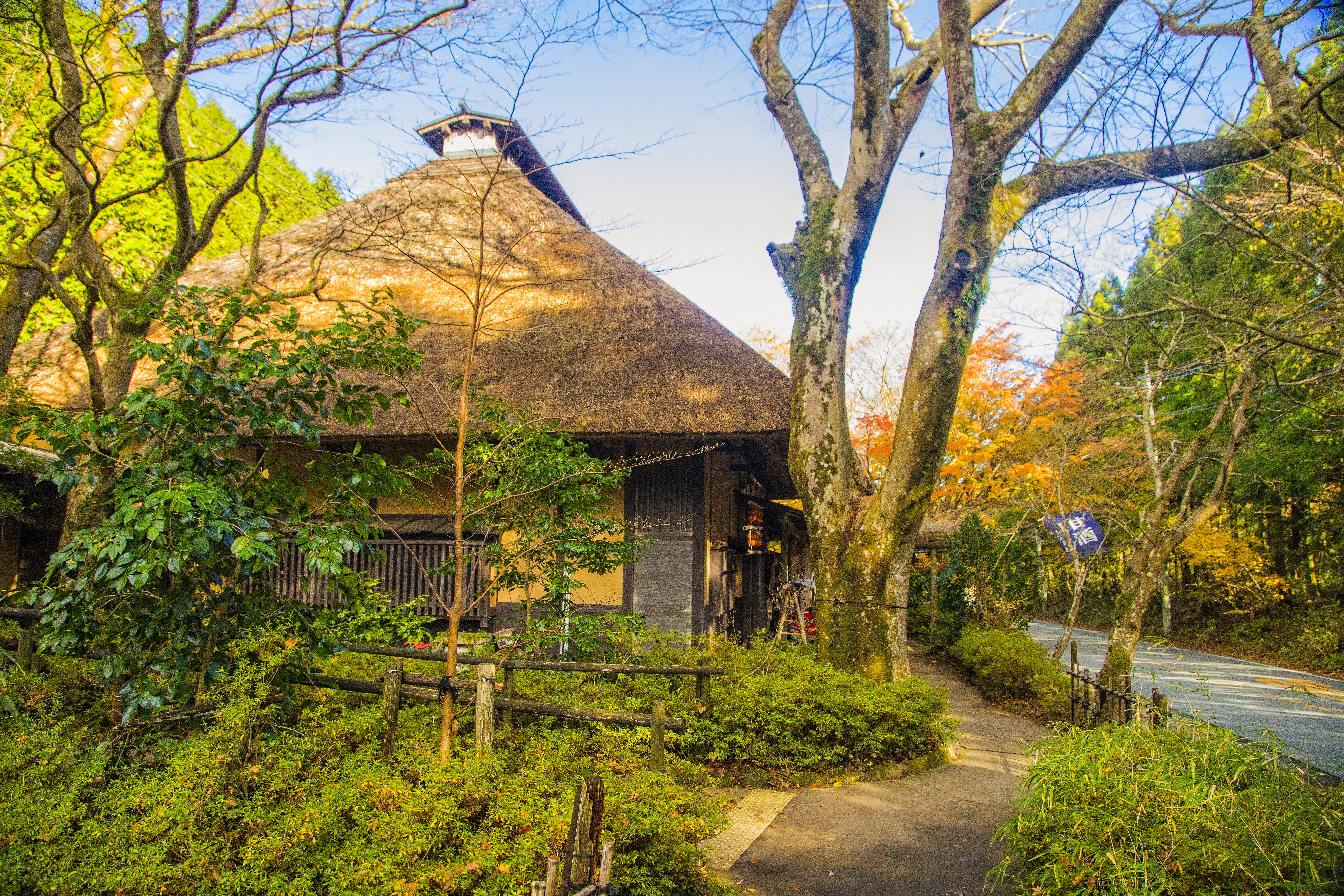
Amasake Chaya Teahouse
Izu Peninsula
The Izu Peninsula is in the southern part of the park. Millions of years of tectonic activity created the low-lying Amagi mountains, numerous hot springs and a dramatic coastline. Take your time and explore the outstanding geological structures, including the rugged cliffs of the Jogasaki Coast and Cape Irozaki, where Iro Shrine is built into the rock.
You can walk through natural Japanese beech forests or hike the Odoriko Trail Road from the southeastern town of Kawazu across suspension bridges and boardwalks. They lead to a series of seven lovely waterfalls known as Kawazu Nanadaru.
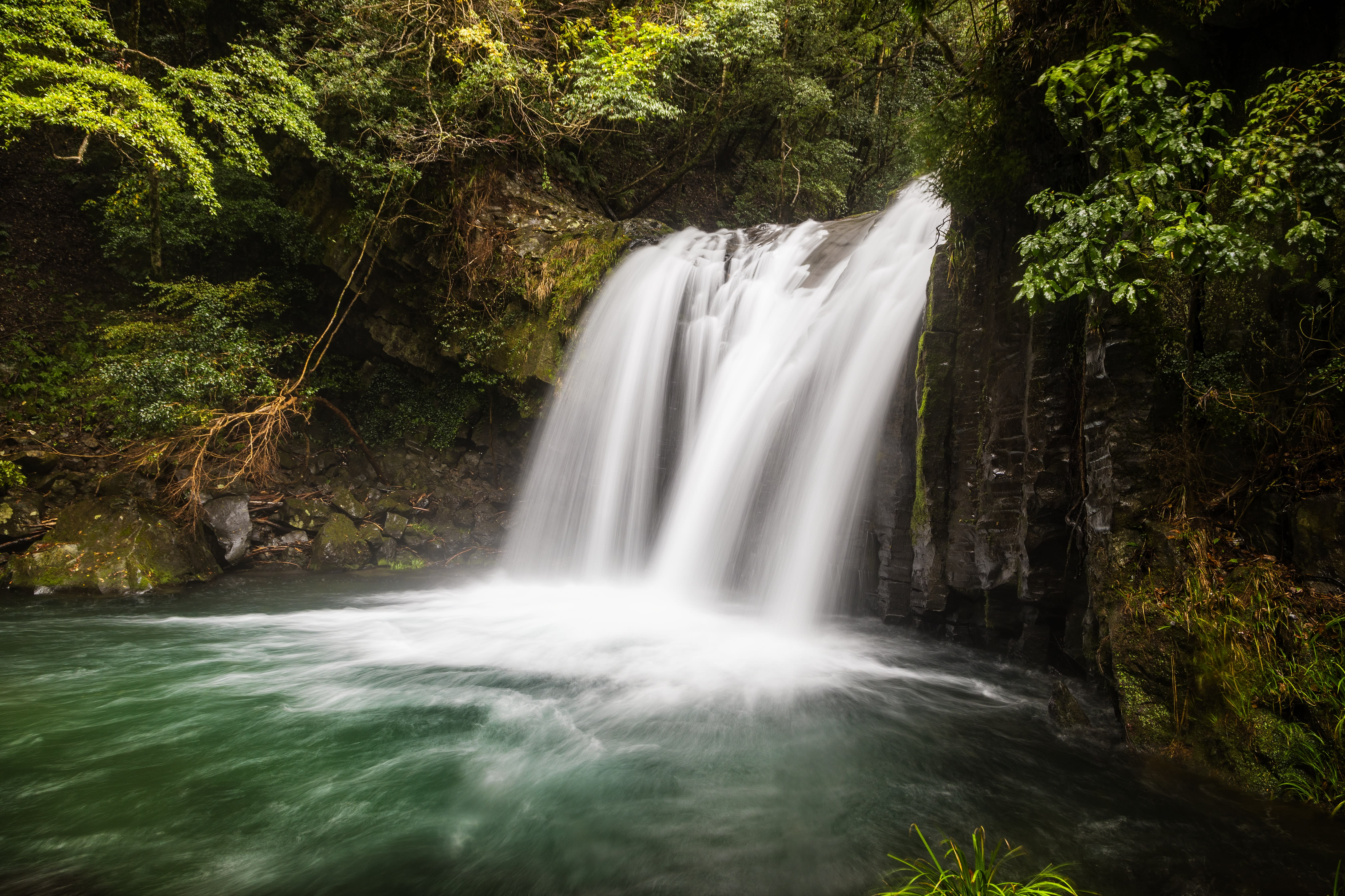
Kawazu Nanadaru
Izu Islands
Running southeast from the Izu Peninsula are the Izu Islands—a string of volcanic islands stretching 290 kilometers into the Pacific Ocean. Nine of them are inhabited and draw travelers throughout the year. The largest is Izu-Oshima, around 108 kilometers from Tokyo. Some are reachable by air, and you can reach them all via ferry.
Some of the larger Izu isles are home to numerous endemic species of plants and animals and serve as temporary havens for migratory birds. You may catch a glimpse of the native Izu thrush (Turdus celaenops) and Iijima’s leaf warbler (Phylloscopus ijimae).
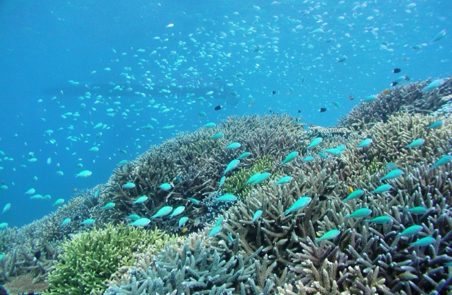
Snorkel around the islands' underwater lava formations and explore the abundant marine life of the table coral reefs near Miyakejima Island. Further south, off the coast of Mikurajima Island, you can swim with Indo-Pacific bottlenose dolphins.

Jogasaki Coast
Culture
For centuries, Mount Fuji has been a symbol and inspiration for the people of Japan, and it is regarded as a divine spirit. People once believed that its constant eruptions were a sign of anger, so they built numerous shrines around the mountain’s base dedicated to appeasing the volcanic deity. You can visit many of these shrines, including Fujisan Hongu Sengen Taisha, which is the head of 1,300 shrines around the country built specifically to honor Mount Fuji.
The many art museums and galleries scattered around Hakone are another cultural feature of the region. The Hakone Open-Air Museum, for example, features major works by Auguste Rodin, Pablo Picasso, Henry Moore and Joan Miro.

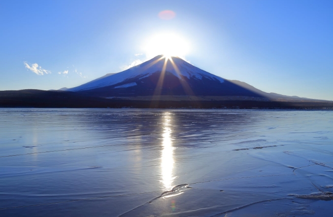
Diamond Fuji
