Aomori Area
The park’s northernmost section is the Tanesashi Coast in Hachinohe City. Hachinohe is known for its morning market at Tatehana Wharf—Japan’s biggest, with over 300 stalls—and lively downtown yokocho (alleyways).
Kabushima-jinja Shrine stands in the northernmost part of Tanesashi Coast. It is famous for being a spot where you can easily observe the breeding of tens of thousands of black-tailed gulls. This place is also the starting point for the Michinoku Coastal Trail, which winds all the way down to Fukushima Prefecture, covering around 1,000 kilometers in all. The route follows a craggy, pine-studded stretch of coastline to Tanesashi Natural Lawn, a grassy expanse originally used to graze horses. Today it’s a hotspot for picnics, camping and glamping, hiking and morning yoga classes.
Just south and inland from there is Mount Hashikamidake (740 m), which presents panoramas of the Hakkoda and Kitakami mountain ranges and the Pacific Ocean. In early summer, the route is lined with rhododendron flowers, while winter hikers can enjoy the snowy landscape.
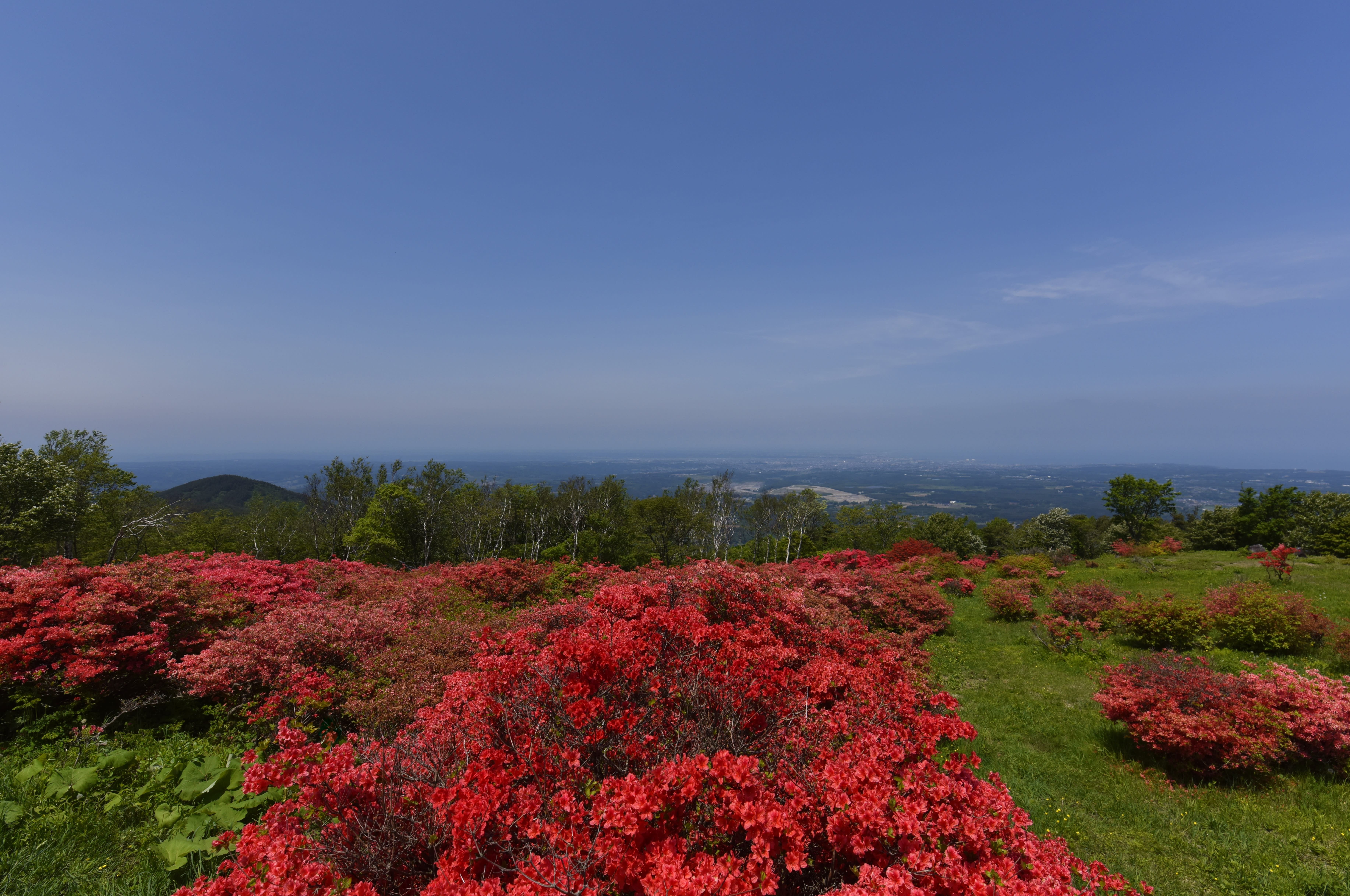
Mount Hashikamidake
Iwate Area
South of the Kosode Coast you’ll find Tofugaura, in Noda, Iwate. It is a 3.5 kilometer sand-and-pebble beach beside a dense carpet of flowers that include bright pink Japanese roses and purple beach peas. This area is also home to Japan’s northernmost community of ama—female divers who harvest abalone, oysters and sea urchins by hand without any breathing apparatus. Tofugaura Beach has been closed since the 2011 earthquake and tsunami.
The Kitayamazaki Coast is characterized by towering 200-meter-high cliffs and jagged rock formations that have earned it the name "The Alps of the Sea." There is a footpath along the coast, with the best views at Kitayamazaki Observatory. Alternatively, take a sightseeing cruise on a small fishing boat (called sappa boats) or go diving.
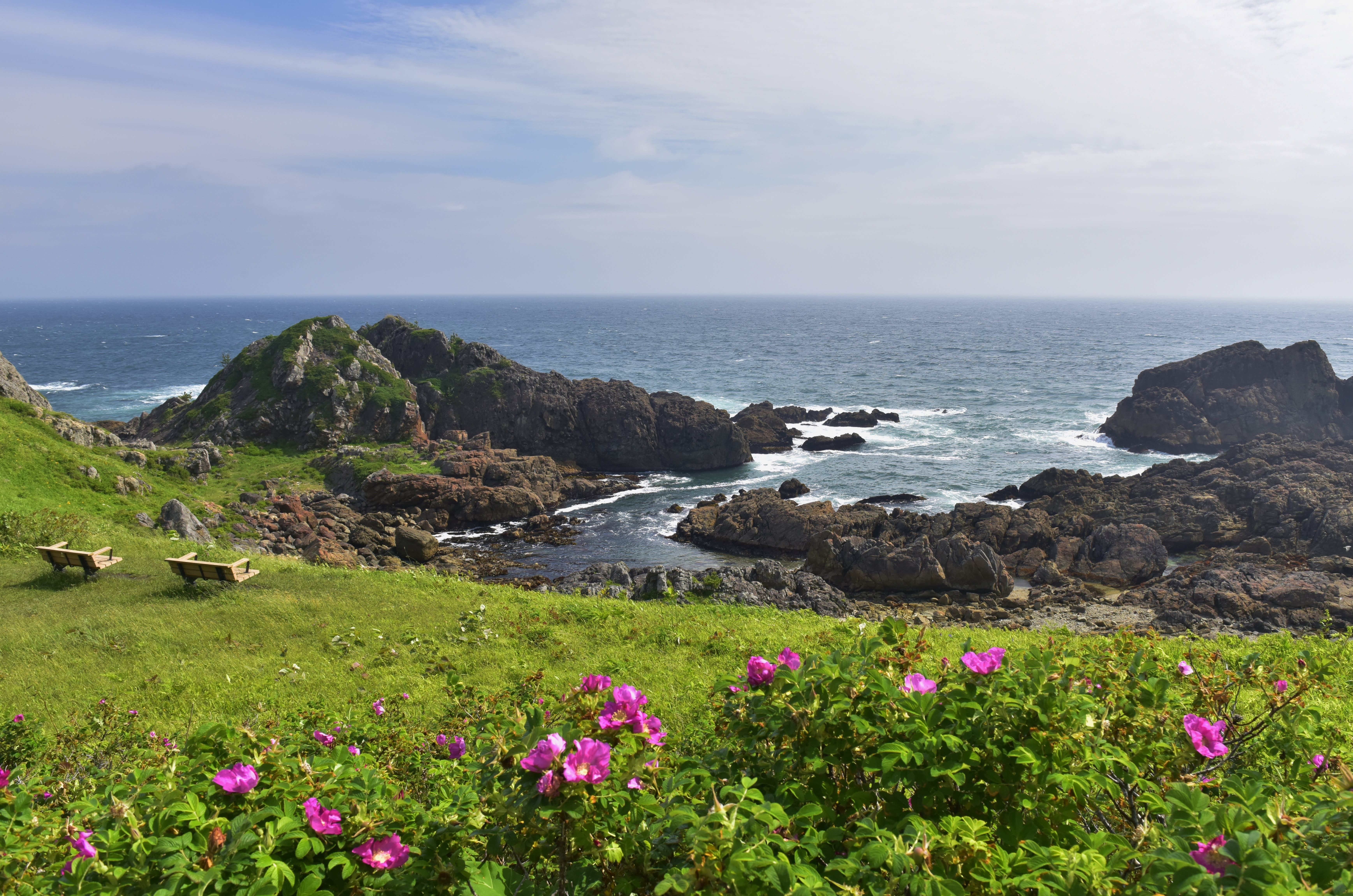
Pink Japanese roses
North of the coastal city of Miyako is Tsunami Memorial Park Nakanohama, built on the site of a campground destroyed in the 2011 disaster. Also close to Miyako is one of the Sanriku Coast’s most popular spots—the long, pebbly beach of Jodogahama. The calm waters are ideal for swimming in the summer months, there’s life aplenty in the tidepools, and you can explore the unusual rock formations and caves on small-boats (sappa) or larger sightseeing vessels. Jodogahama’s name essentially means “Paradise Beach.”
At the tip of the Hakozaki Peninsula, which juts out into the Pacific, Ohakozaki Senjojiki is a great place to explore the area’s singular geology. Nearby is Kamaishi Recovery Memorial Stadium, a match site for the 2019 Rugby World Cup.
Continuing south toward Miyagi, you’ll reach the rocky beaches of the Goishi Coast and Hirota Peninsula. Goishi Coast has boat tours and clifftop footpaths from which to admire the jagged rock formations and sawtooth granite cliffs. At Rikuzentakata, the "Miracle Pine Tree"—a semi-preserved version of the only survivor of the 70,000 that once lined the coast here—stands beside the Iwate Tsunami Memorial as a monument to the 2011 disaster.
Miyagi Area
Kesennuma, a major fishing port in northern Miyagi, has two museums that reveal the impact of the earthquake and tsunami. Tsunami Taikenkan in the Karakuwa Peninsula Visitor Center, features photos of the devastation and a tsunami simulation. Kesennuma Bay is dotted with oyster farms, which you can tour. The aquaculture rafts of these oyster farms bob near the verdant island of Oshima, which has excellent hiking trails.
Shizugawa Bay, in Minamisanriku Town, was devastated by the 2011 tsunami. Over the years, the work put into its revival has seen it become an important conservation area. In 2018, it was designated a Ramsar site (Convention on Wetlands of International Importance especially as Waterfowl Habitat). One of the best ways to explore the coastline is on a Shizugawa Bay cruise.
Sanriku Fukko (reconstruction) National Park ends near the port town of Ishinomaki, which has several natural and cultural attractions. One is the jetty from which ferries leave for the sparsely inhabited Tashirojima Island.
Beside Ishinomaki is the Oshika Peninsula. Near its base is Mount Dairokuten (439 m), with sweeping views of Onagawa Bay and Kinkasan. This island has been considered sacred for centuries. Deer are viewed as divine messengers of the gods, so they are free to roam this wooded isle.

Deer in Kinkasan
Culture
Tohoku was long characterized in Japanese culture as a cold, distant land called Michinoku, meaning “the end of the road.” Haiku master Matsuo Basho (1644–1694) made several forays into Honshu’s wild and beautiful north, resulting in works such as Oku no Hosomichi (The Narrow Road to the Deep North).
Despite its reputation as a quiet, remote place, Tohoku has many festivals, crafts and culinary specialties. The Kamaishi Festival, held every October, aims to bring good luck to the town’s fishing fleet. Highlights include traditional hikifune boats taking to the water and the energetic, centuries-old tora-mai (tiger dance) and shishi-odori (deer dance).

Kitayamazaki Coast
The most famous local craft is the creation of simple wooden dolls called kokeshi. There are plenty of opportunities to paint one yourself. There are also variations on Hachinohe’s brightly decorated wooden horse figurines throughout the park, reflecting their importance here.
Some of Japan’s freshest fish and seafood are landed in the Sanriku Fukko (reconstruction) National Park area, and Kesennuma is a great place to taste some. You can take a tour of the bustling fish market, and even head out on a fishing boat or to an oyster farm.
After the 2011 disaster, Tohoku’s travel focus shifted to eco- and community-based tourism. The 1,000-kilometer Michinoku Coastal Trail was established to encourage slow tourism and outback travel in the hardest-hit areas. It offers stunning views, quiet campgrounds and the chance to meet the locals. Disaster prevention and education are a park priority, giving you the chance to directly support recovering communities.

Kinkasan
